The recent Geospatial Commission report identified how better use of location data can help overcome four key challenges to siting chargepoints: modelling future demand, finding suitable sites, creating a seamless consumer experience and tracking rollout. Ellie Skinner, Senior Policy Advisor at the Geospatial Commission, explores these four points.
The UK government has set an ambitious agenda to decarbonise the entire transport system and put us firmly on a path to net zero by 2050. The transition to zero emission vehicles is driving progress towards net zero, with increasing numbers of motorists making the switch to electric vehicles. Last December, there were over 42,000 new registrations, 32.9 percent of all new car registrations that month according to ZapMap.
The clock is ticking: from 2030, sales of new petrol and diesel vehicles will be banned. Comprehensive, responsive and accessible EV charging infrastructure that drivers of today and tomorrow can depend on is critical to growing the number of electric vehicles on the road in the UK.
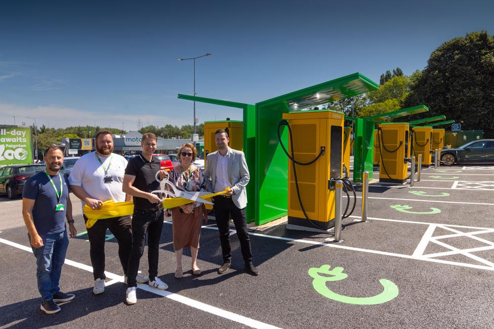
Easy access to a chargepoint that can deliver a smooth consumer experience is required to successfully enable this transition. The government estimates that 300,000 chargepoints will be needed by 2030, a significant increase from today’s 37,000. While the government continues to invest in delivering the total sum of chargepoints we need, the public and private sector will also need to address where chargepoints are located.
In December the Geospatial Commission, an expert committee within the Cabinet Office, published a report setting out how location data - the record of what we do and where we do it - can accelerate EV chargepoint rollout to more parts of the UK. Our report identifies how better use of location data can help overcome four key challenges to siting chargepoints: modelling future demand, finding suitable sites, creating a seamless consumer experience and tracking rollout.
Challenge 1 - modelling future demand
We found that location data can help local authorities understand current and future demand for chargepoints. For example, where there are clusters of households without access to off-street parking there will be greater demand. Modelling chargepoint demand can help public authorities identify the right number, type and locations of public chargepoints. By bringing together data on existing chargepoints, travel patterns and infrastructure constraints, the public sector can more efficiently and effectively plan, procure and rollout chargepoints.
Demand modelling could provide the evidence base to develop the investment case to set commercial terms which balance the need for equitable provision and making sustainable returns.
Challenge 2 - finding suitable sites
Once demand has been established, the next stage is assessing whether sites are suitable for chargepoint installation. Location data can accelerate this process, helping planners identify optimal sites for where chargepoints can be installed to avoid wasted effort. Location data can speed up site selection by improving our understanding of energy capacity and identifying site constraints, hazards and opportunities on the kerbside.
Challenge 3 - creating a seamless consumer experience
According to CI&T (formally Somo), one in five non-EV drivers say that having to research the location of chargepoints when on a long journey is stopping them from switching. The market will drive improvements in the consumer experience. Making chargepoint location data more FAIR (findable, accessible, interoperable and reusable) can encourage innovation in the private sector which will then improve how current EV drivers interact with the chargepoint network, creating a more seamless experience for them and building the confidence of prospective owners.
Challenge 4 - tracking rollout
The UK government has a vision for a chargepoint network that reaches everyone, everywhere. The right use of location data can drive this transition and help the government to monitor rollout and identify where demand is not being met.
The Geospatial Commission will continue to work with other government departments to support local authorities and others to make better, evidence-led, decisions through the use of location data so that public chargepoints are made accessible to everybody, everywhere.